Green Checkpoint
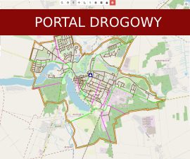
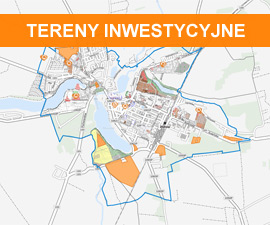
Orienteering track – the map of Złotów Town Commune
What is orienteering?
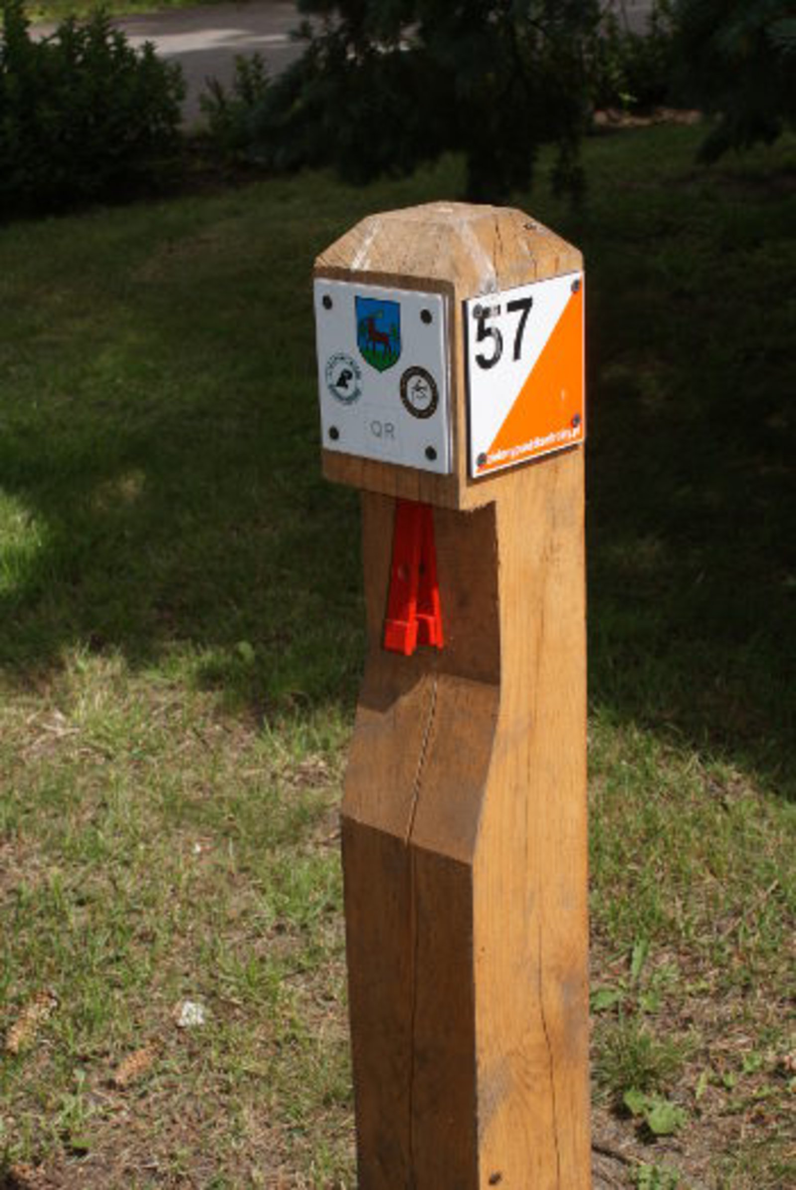
It is a form of active relaxation, use a map and compass to cross the trail in as short time as possible, passing all the indicated check-points. The checkpoints are marked with a white-orange or white-red lantern. On our map they are presented as wooden posts with a marking and a number.
Orienteering maps are very accurate and provide numerous topographic details. Our map includes the town limits and uses a unique scale 1:6000 (1 cm on the map = 60 m in the field), so that the large number of details is actually very beneficial. The actual route is up to you, and a lot depends on choosing the right path (or selecting the right variant - as expert orienteers say) because the shortest route is not always the fastest one.
How to begin?
First you need a map and a starter sheet. There are 3 ways to do it:
- go to the Złotów Municipal Office (room 35),
- go to the Złotów Land Museum,
- go to the Cyprian Norwid’s Town Library in Złotów,
- take one from the box under the board at the beginning of P. J. Lenne Avenue in the Game Park (Zwierzyniec).
- go to the seat of the Złotów Forest Inspectorate,
- download the files (see downloads: Checklist (.pdf), Map (.pdf)).
Once you have the map and the starter sheet, you can start looking for the wooden posts scattered all over Złotów and in the game park. Checkpoints are in the center of the red ring on the map. Once you find the post, see if the number on the map corresponds to the number on the post (if not, it means you have found a different post; or to put it bluntly, you got lost). To make it easier, there is a brief description of each checkpoint on the back of the starter sheet so that you’ll know what to look for. Now, score a point on the grid in the starter sheet by using the punch placed on the post to make a hole in your sheet. The order of scoring from the posts does not matter (during a competition, the trail often needs to be covered in a set order), there are 3 trails to choose from:
1. Game park with 15 points (forest trail),
2. Very easy and family-friendly trails with 10 points located in the town, also accessible for the disabled,
3. Trail including all 40 points from the game park and the town limits.
These are just examples, feel free to create your own trail to fit your preference and ability. The trail can also be traversed by bike, although reaching some checkpoints might require dismounting for a short walk.
To find the checkpoints you need a compass and a ruler to measure the distance on the map, and if you are cycling, a map holder screwed to the handlebar and an odometer might be useful. Clothing depends on the pace with you intend to cover the distance. Let us just say that you won’t have to go through thickets, unless you really go out of your way to do so!